
Skip to content

AI+AEC in News

Reality capture and digital twins: AI news

News on capturing existing buildings and sites with scanning, LiDAR and photogrammetry, and on digital twins that keep that data useful over a building's life.

3 stories

  • AEC Magazine ·

    Trimble embeds AI across AECO

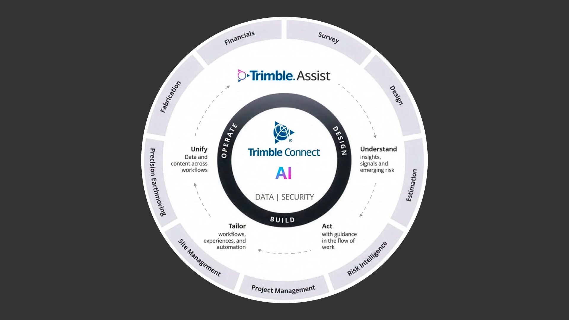
    Trimble Connect platform introduces AI agents and automation to improve project coordination, manage risk and streamline workflows Trimble has embedded AI within Trimble Connect , expanding the platform beyond its traditional role as a common data environment (CDE) to connect site information with design, cost and operational workflows. The new capabilities are intended to help teams identify and mitigate risks across the project lifecycle, while keeping human judgement at the centre of decision-making. Unveiled at Trimble’s Dimensions User Conference, the AI capabilities span design, construction and project operations. In design, they include generating architectural options using live as-built point-cloud data, converting natural-language prompts into constructible structural models, and automatically classifying scanned point clouds into structural elements. For construction teams, applications include AI-powered diagnostics for machine-control systems, converting 360-degree site walk videos into 3D point clouds, and voice-driven site inspections that automatically transcribe observations and link them to project drawings.
  • AEC Magazine ·

    Mach9 adds aerial LiDAR and photogrammetry support

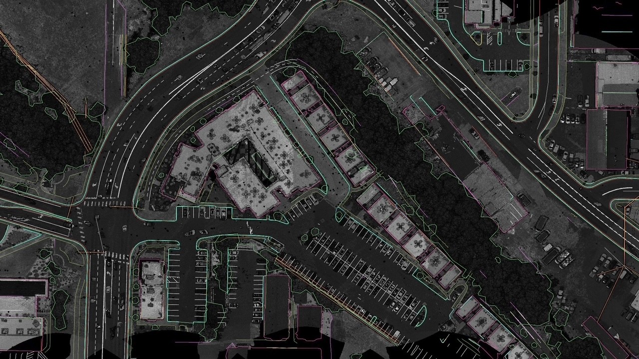
    AI CAD software combines feature extraction, point cloud editing and surface modelling for aerial survey workflows Mach9 has extended its web-based AI CAD software for civil engineering enabling it to process aerial LiDAR and photogrammetry -derived datasets from drones, helicopters and aircraft. Previously focused on ground-based scanning, the software can now extract features from aerial point clouds, classify points and build surfaces for civil engineering and GIS applications. Mach9 says its AI can produce an initial draft in hours, which survey teams then check and edit before delivery. The development addresses a familiar problem in reality capture: collecting data is often considerably faster than producing useful engineering drawings from it. Users upload point clouds and orthomosaic imagery, then work through extraction, editing and surface creation within the same application.

  • Construction Dive ·

    Eyes in the sky, savings on the ground: AI drones take on construction’s data problem

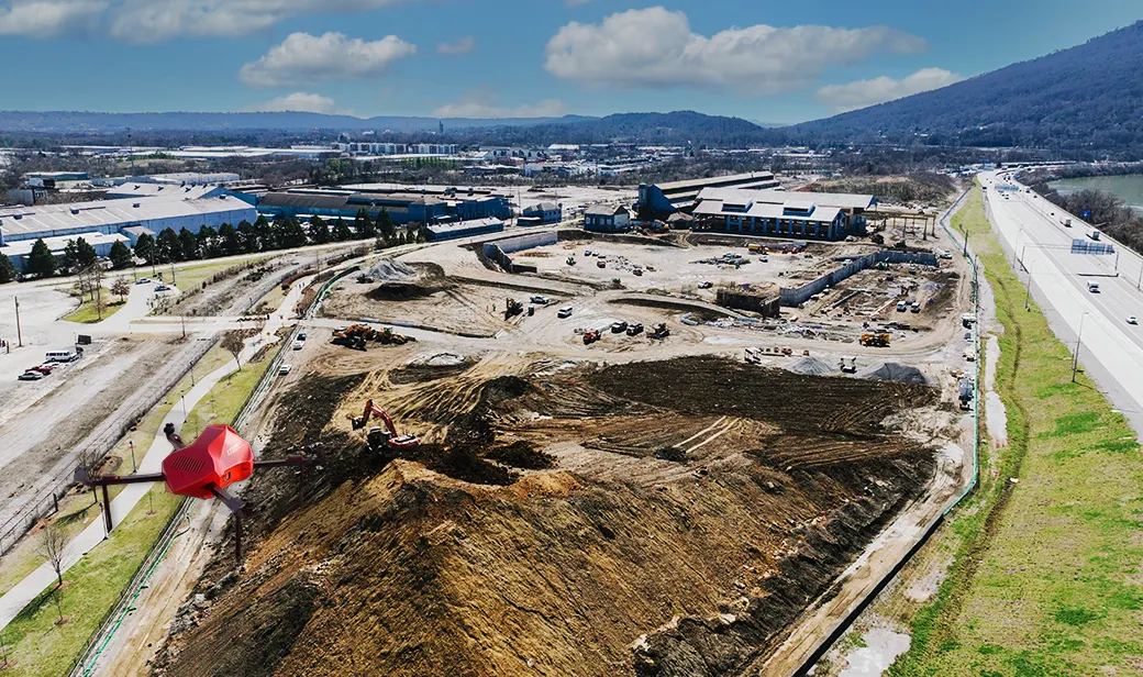
    The U.S. construction industry was valued at $2.2 trillion in 2025. Yet poor data cost the global industry an estimated $1.8 trillion every year . Rework, delays, and miscalculations leave contractors already working with thin margins and tight schedules overextended and clients frustrated. For anyone running a jobsite, the gap between what’s on the plans and what’s actually being built is a constant headache. But how do you keep an eye on everything, all the time, when you're already too busy making sure the job gets done? The answer is: you can't. But drones can. With Drone as a Service, AI-autonomous drones are the missing piece. The drones are equipped with 4K cameras, LiDAR, multispectral and thermal sensors, and ground-penetrating radar (GPR) scanners, giving contractors accurate site data when and where they need it, without sending crews into harm's way.

Want to apply this in your firm? See our BIM & data integration service.

Talk through your AI plans with an architect

Book a strategy call. We'll look at where AI can save your team time, what it will take, and what to leave alone.